


www.goodnewsnetwork.org
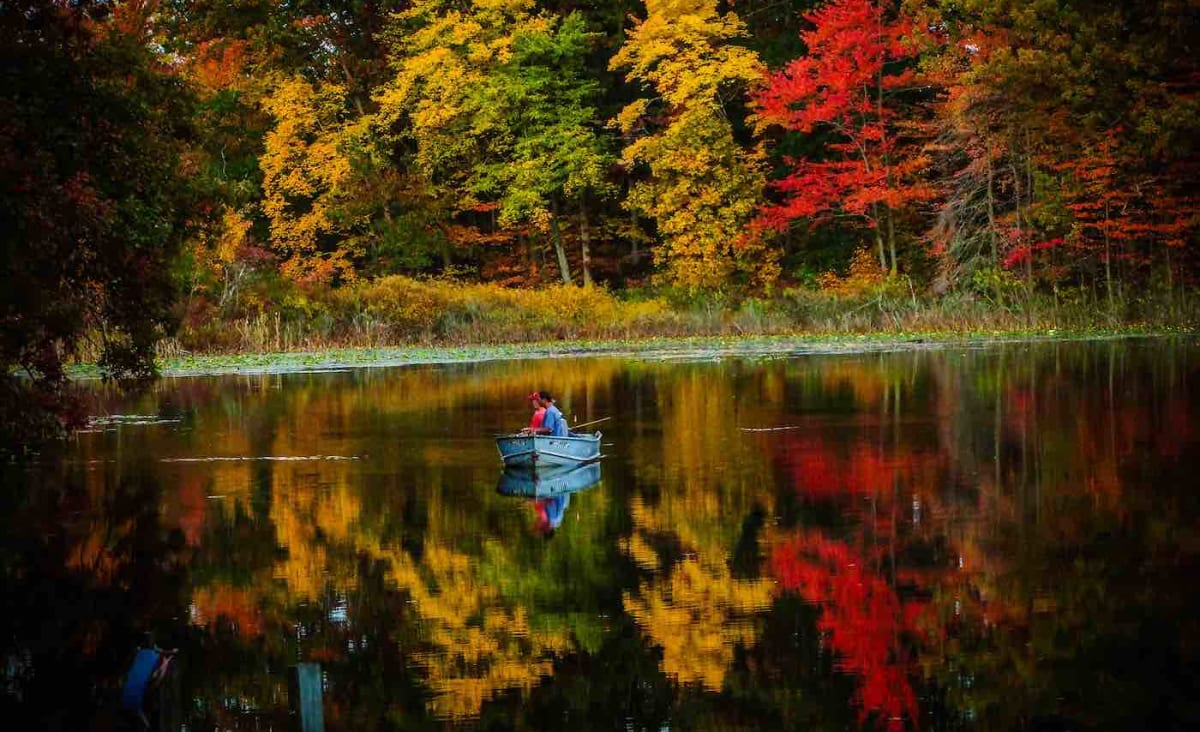
Want to Know Where The Best Fall Colors Are in Your Area? Check Out This Interactive U.S. Map
An interactive, digital map from SmokyMountains.com lets you see where the best fall colors are in the USA.
Culture & Entertainment
It’s quite the show, and for ‘leaf peepers’ in the Lower 48, it’s possible to take a look at a virtual, interactive map to see just where the tree leaves are at their brilliant best.
At SmokyMountains.com, publicly accessible data such as National Oceanic and Atmospheric Administration precipitation forecasts, temperature forecasts, and average daylight exposure gets collated and synthesized in order to create a map that changes color according to where the most colorful scenes might be seen across the States.
Co-founder of the map, David Angotti, noted that its predictions aren’t quite perfect. It might show amazing fall colors happened in the middle of Arizona, but if there are no deciduous trees in that area—of course there won’t be much of a show.
“I wish I could make fall happen in South Florida or in the desert,” Angotti told the Washington Post, “but at the end of the day, the math is basically showing when the temperature and precipitation trends would cause peak fall to occur in each of these areas.”