www.yahoo.com
Coldest air in three years coming to parts of the country
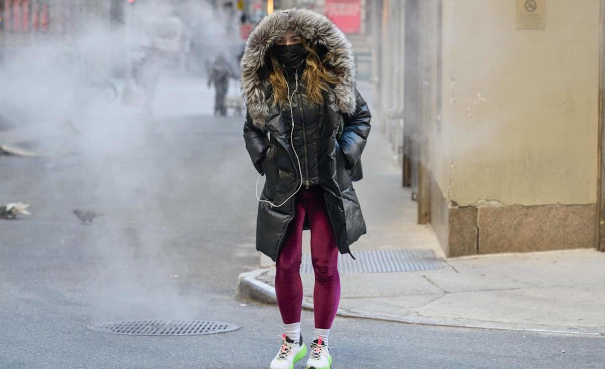
Monday started the workweek with 15 million people under wind chill alerts stretching from the northern Plains and Upper Midwest into the Northeast.
Local
Monday started the workweek with 15 million people under wind chill alerts stretching from the northern Plains and Upper Midwest into the interior Northeast and New England.
Wind chills across the Upper Midwest were forecast to be as cold as 45 below zero and wind chills across the Northeast and New England as cold as 35 below zero.
Monday is the coldest day of the week for the Upper Midwest and Great Lakes and Tuesday the coldest day for the East. After that, temperatures rebound quickly for the rest of the week.
On Tuesday, the high temperature forecasts for New York (22 degrees) and Boston (12 degrees) will be the coldest high temperatures experienced since 2019.
As the bitterly cold air flows over the largely ice-free Great Lakes, the combination will lead to the potential for very heavy lake effect snow through Tuesday.
On Monday morning, 5 million people were under lake effect snow alerts across the Great Lakes. At sunrise, a "mega" lake effect snow band was stretching 250 miles from the shore of Lake Ontario (south of Watertown, New York) all the way into western Massachusetts.
The lake effect snow is expected to bring snow to places like Buffalo and Syracuse in New York and Cleveland.
The locations under the heaviest lake effect snow could receive up to 2 feet. Snowfall rates of 3 inches per hour and thundersnow will also be possible.


