


www.space.com
Amazon tests machine learning software to analyze satellite images from space
Amazon has been testing a machine learning software in space that can analyze Earth observation images on its own and send only the best ones to Earth.
Science & Tech
For the past 10 months, Amazon has been testing a machine learning software in space that can analyze Earth observation images on its own and send only the best ones to Earth.
Earth observation satellites have experienced a massive boom over the past decade. Hundreds of satellites, government-owned and private alike, circle the planet and keep an eye on its surface, monitoring signs of climate change but also activities of enemy states. The amount of data these satellites acquire is so vast that sending it all to Earth is challenging due to the limited number of ground stations and available bandwidth. But how could a satellite be made to choose the best and most relevant images to send home?
Amazon and its partners, Italian space start-up D-Orbit and computing technology developer Unibap, partnered to demonstrate a solution to this problem — an artificially intelligent software running directly on an orbiting satellite that can make its own decisions about which photos to transmit to Earth.
"Using Amazon Web Services (AWS) software to perform real-time data analysis onboard an orbiting satellite, and delivering that analysis directly to decision makers via the cloud, is a definite shift in existing approaches to space data management," Max Peterson, AWS vice president, said in a statement (opens in new tab). "It also helps push the boundaries of what we believe is possible for satellite operations. Providing powerful and secure cloud capability in space gives satellite operators the ability to communicate more efficiently with their spacecraft and deliver updated commands using AWS tools they’re familiar with."
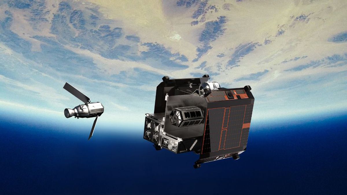
The experiment ran on D-Orbit's ION satellite, which was launched in January 2022. During the tests, the Unibap-built machine learning payload processed "large quantities of space data directly onboard" the satellite, AWS said in the statement. (Machine learning refers to software algorithms that can learn from patterns in prior data in order to make decisions without following explicit instructions.) The system utilizes AWS machine learning models, which analyze acquired satellite imagery in real time, and the AWS IoT Greengrass cloud management and analytics system that can perform even during periods with limited connectivity.
"We want to help customers quickly turn raw satellite data into actionable information that can be used to disseminate alerts in seconds, enable onboard federated learning for autonomous information acquisition, and increase the value of data that is downlinked," Fredrik Bruhn, chief evangelist in digital transformation and co-founder of Unibap, said in the statement. "Providing users real-time access to AWS edge services and capabilities on orbit will allow them to gain more timely insights and optimize how they use their satellite and ground resources."
During the experiment the machine learning software successfully identified objects such as atmospheric clouds and billows of wildfire smoke, as well as buildings on the ground and ships in the sea. The software also managed to reduce the size of the images transmitted to Earth by up to 42%, AWS said in the statement, improving the speed and efficiency of the delivery process.
The satellite is still in orbit, continuing its experiments.