www.cnn.com
The worst of the nor'easter that slammed the Northeast with record snowfall has passed, but 'dangerously cold' wind chills remain in some areas
The worst of the nor'easter that dumped record snowfall in parts of the East Coast has passed, but "dangerously cold" wind chills were set to stick around in some areas Sunday morning, forecasters said.
Local
(CNN)The worst of the nor'easter that dumped record snowfall in parts of the East Coast has passed, but "dangerously cold" wind chills were set to stick around in some areas Sunday morning, forecasters said.
Roughly one million people across the Northeast were under winter weather alerts early Sunday, down from the nearly 16 million who were affected by such alerts Saturday night.
"That is a huge drop-off as the storm exits the most populous areas of the eastern seaboard," CNN meteorologist Derek Van Dam said.
Blizzard warnings -- which affected millions across multiple states Saturday -- have also been scaled down to eastern and northern Maine, where more than 240,000 people were affected as of 1 a.m. Sunday, according to the National Weather Service (NWS).
A blizzard, as defined by the NWS, requires blowing or falling snow, winds of at least 35 miles per hour, and visibility of a quarter mile or less for at least three hours.
Those conditions were reached Saturday in several locations across Rhode Island and eastern Massachusetts, including Boston, the NWS said.
Wind speed -- which reached more than 80 mph Saturday across eastern Massachusetts -- is expected to ease to about 15-25 mph Sunday, though gusts could be higher in some local areas, according to Van Dam.
Sign up for weather email alerts
Still, much of the Northeast can expect "dangerous" wind chills, some dipping below zero Sunday morning as the storm exits the region, the NWS warned. More than 760,000 people from parts of western Virginia through Maine are under those warnings effective until 7 a.m. in some areas and 10 a.m. in others.
Later Sunday, some areas including Buffalo, New York, and Pittsburgh will see temperatures improve by roughly 10 degrees.
Meanwhile, cities including New York, Boston and Philadelphia will see a slight dip of about 4 degrees Sunday.
"Although temperatures are going to rebound (Sunday), we will have to be patient for any real warm up, which doesn't come until the middle of the week," Van Dam said.
The frigid cold follows dense snowfall that broke records throughout the Northeast in parts of southern New Jersey, New York, Pennsylvania and Massachusetts.
The storm became a "bomb cyclone" Saturday morning, meaning it strengthened rapidly and had the barometric pressure drop more than 24 millibars within 24 hours, the Weather Prediction Center said.
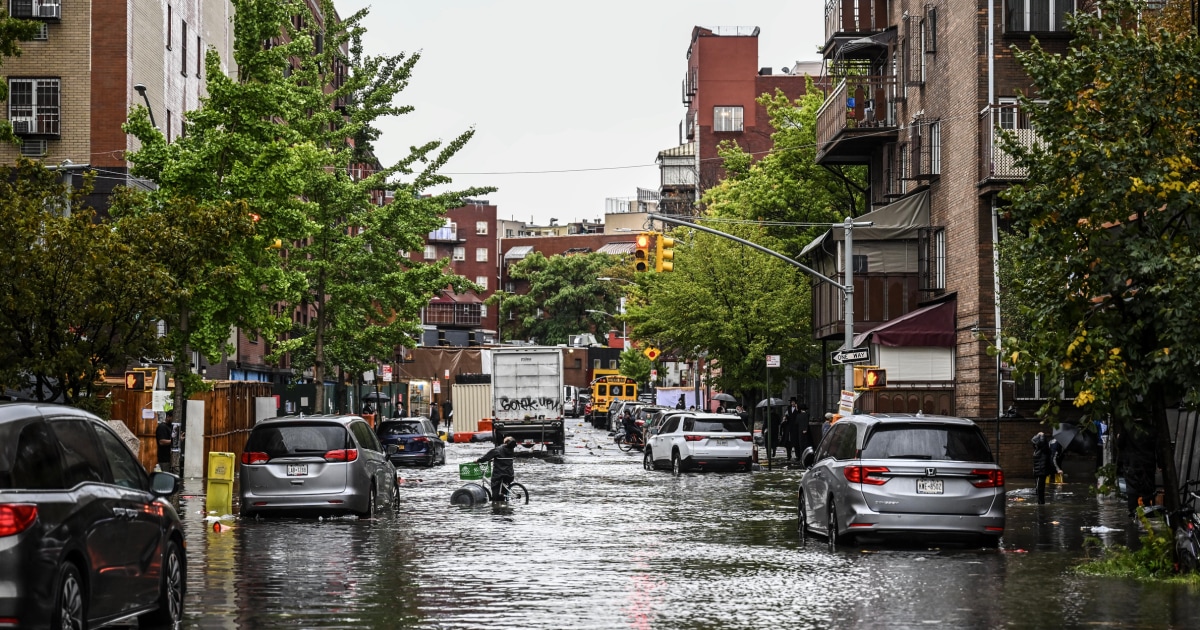
The storm wreaked havoc on transportation in the region, creating dangerous conditions on roadways and delays and cancellations on air and rail travel.
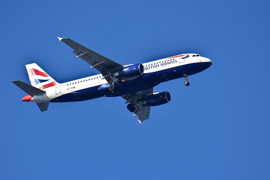
More than 3,580 flights within, into or out of the US were canceled Saturday, according to FlightAware, and more than a thousand were already canceled for Sunday as of the early morning. Major airlines offered waivers and alternative options to passengers whose travel was affected by the storm.


